FUGRO GEOTECH INDIA P. LTD.
Featured Products
Highest quality standards are achieved through the implementations of latest technology, decades of experience and everlasting moral values , which have helped us to retain our customers as well as multiply them.
Welcome to FUGRO GEOTECH INDIA P. LTD.
Hydrographic Survey Services
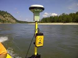
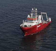
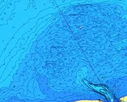
Fugro’s survey fleet is equipped with full ocean depth multibeam echosounder systems for habitat surveys, hydrographic surveys and charting. Our accurate desktop studies assist in cable route planning and for cable burial we conduct onboard soils assessment. Our services also include airborne acquisition of bathymetric lidar data and the acquisition of 2D seismic data for Exclusive Economic Zone assessment for UNCLOS claims.
For submarine communication and power cables we provide planning, desk top studies, site visits, route selection, route survey and installation support. Associated services include environmental impact studies, burial assessment surveys and archaeological surveys.
Airborne Lidar Bathymetry (ALB) and terrestrial laser scanning offer highly efficient and cost-effective solutions to hydrographic surveying, riverine mapping, coastal zone and engineering projects. Our BOAT-MAP technique combines the benefits of multibeam bathymetry with above-water laser scanning to produce a seamless image of the coastal zone, both above and below the water line. Habitat and reef mapping are amongst the features of our environmental services.
For UNCLOS claims, our EEZ mapping services include bathymetry and seismic data acquisition as well as expert advice on maritime boundaries and workshops and seminars tailored to your specific requirements. Our range of services includes:
Airborne Lidar Bathymetry (ALB)
Cable route surveys
Burial assessment
Desk top studies
Global ‘Law of the Sea’ services
Fisheries habitat
Hydrographic mapping
Support for engineering projects
Hazard surveys
Underwater infrastructure inspection
Our Vision
* To embrace new technologies and methods. * To give unsurpassed products and services to the clients. * To constantly look for improvement and changes.


